Survey & Inspection with Drones
Drones are increasingly being used for survey and inspection work. They can provide a safe, efficient, and cost-effective way to collect data on a variety of assets, including buildings, infrastructure, and natural resources.
Drone surveys can be used to:
Create 3D models of assets
Identify potential hazards
Assess the condition of assets
Monitor changes over time
Collect data for planning and design
Drone inspections can be used to:
Check for damage
Identify leaks
Assess the condition of roofs
Monitor the growth of vegetation
Conduct thermal imaging
If you are looking for a safe, efficient, and cost-effective way to survey or inspect your assets, then drones are a great option. Contact us today to learn more about our drone survey and inspection services.

USING DRONES TO MAKE ORTHOMOSAIC MAPS AND 3D MODELS OF PLACES AND STRUCTURES
SEMI AUTONYMOUS
Semi-autonomous flying is a technology that allows drones to fly without the constant input of a human pilot. This can be done by using a variety of sensors, such as cameras, GPS, and LiDAR, to track the drone's position and environment. This information is then used to create a flight plan that the drone can follow autonomously.
Semi-autonomous flying can be used to create 2D and 3D models of objects or environments. This can be done by flying the drone over the object or environment and taking a series of photos or videos. These images can then be stitched together to create a 2D or 3D model.
Semi-autonomous flying is a powerful tool that can be used for a variety of applications. It can be used for surveying and inspecting objects or environments, creating 2D and 3D models, and even delivering goods. As the technology continues to develop, it is likely to become even more widely used in the future.
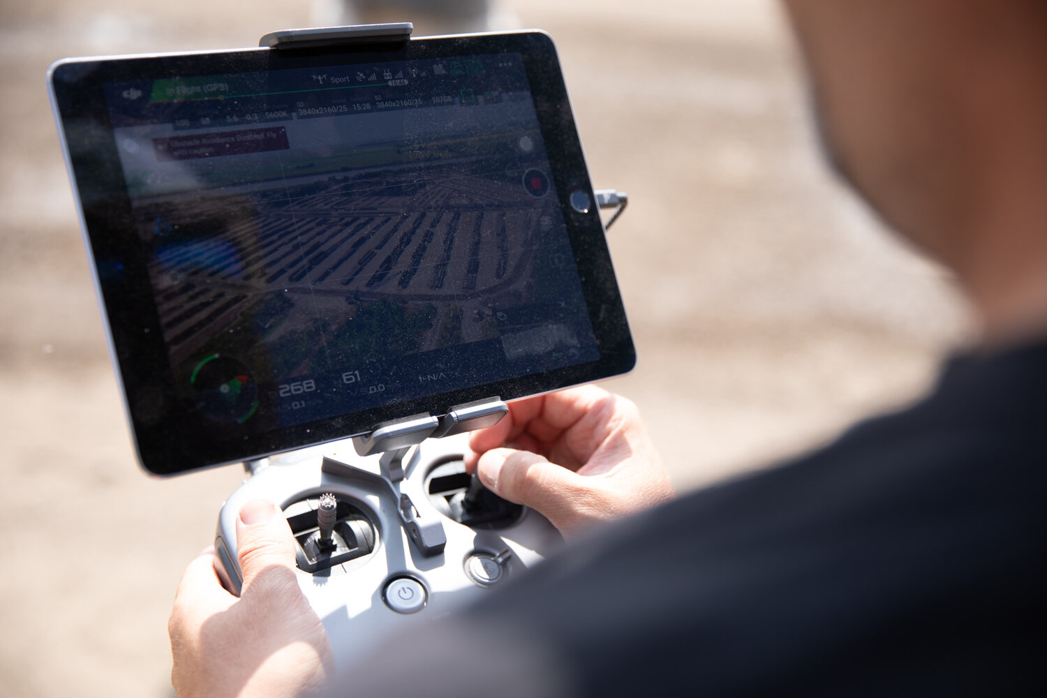
Back in the office our technicians use special software to overlay and stitch the images into very high resolution maps which we can provide to you in a variety of formats for CAD or BIM software.
We can also host your maps on our server so you can access them from anywhere in the world! Scroll down to see the results of our mapping of Prestatyn Hillside and zoom in to see the detail.

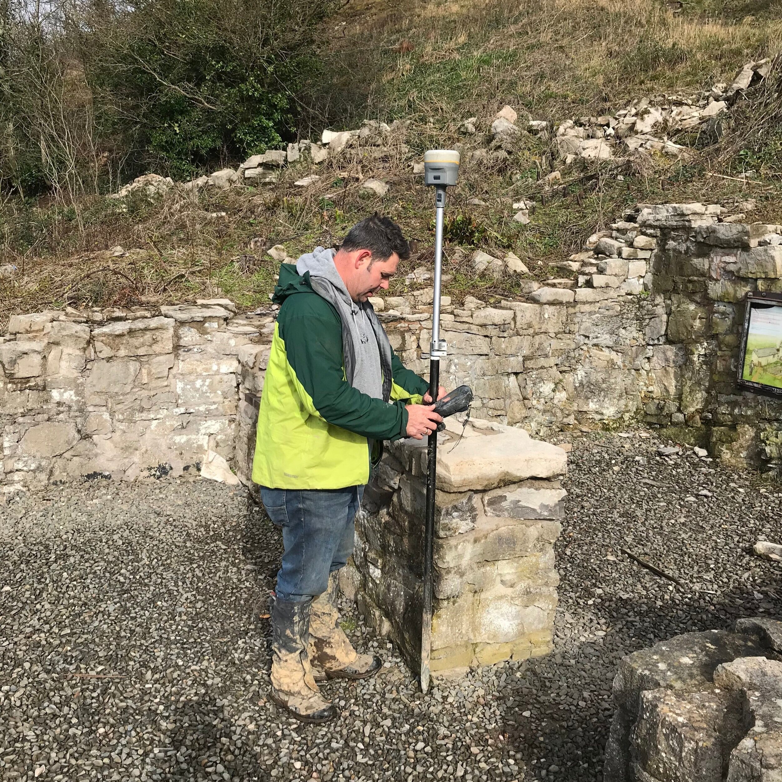
GROUND CONTROL POINTS
When conducting mapping missions with drones, it is often beneficial to use an RTK drone and a qualified surveyor to take additional ground control points (GCPs). RTK drones have the ability to receive real-time corrections to their position from a base station, which can improve the accuracy of their data. Additionally, qualified surveyors can help to select appropriate GCPs and collect accurate measurements, which can further improve the accuracy of the data.
Here are some of the benefits of using an RTK drone and a qualified surveyor for mapping missions:
Improved accuracy: RTK drones and qualified surveyors can help to improve the accuracy of mapping data by up to 1 cm. This can be important for applications such as construction, surveying, and agriculture.
Reduced time and cost: RTK drones and qualified surveyors can help to reduce the time and cost of mapping missions. This is because they can collect more accurate data in less time, which can save on the cost of data processing and analysis.
Increased safety: RTK drones and qualified surveyors can help to increase the safety of mapping missions. This is because they can fly in more challenging environments and avoid obstacles, which can reduce the risk of accidents.
If you are looking for the most accurate and efficient way to conduct mapping missions, then you should consider using an RTK drone and a qualified surveyor
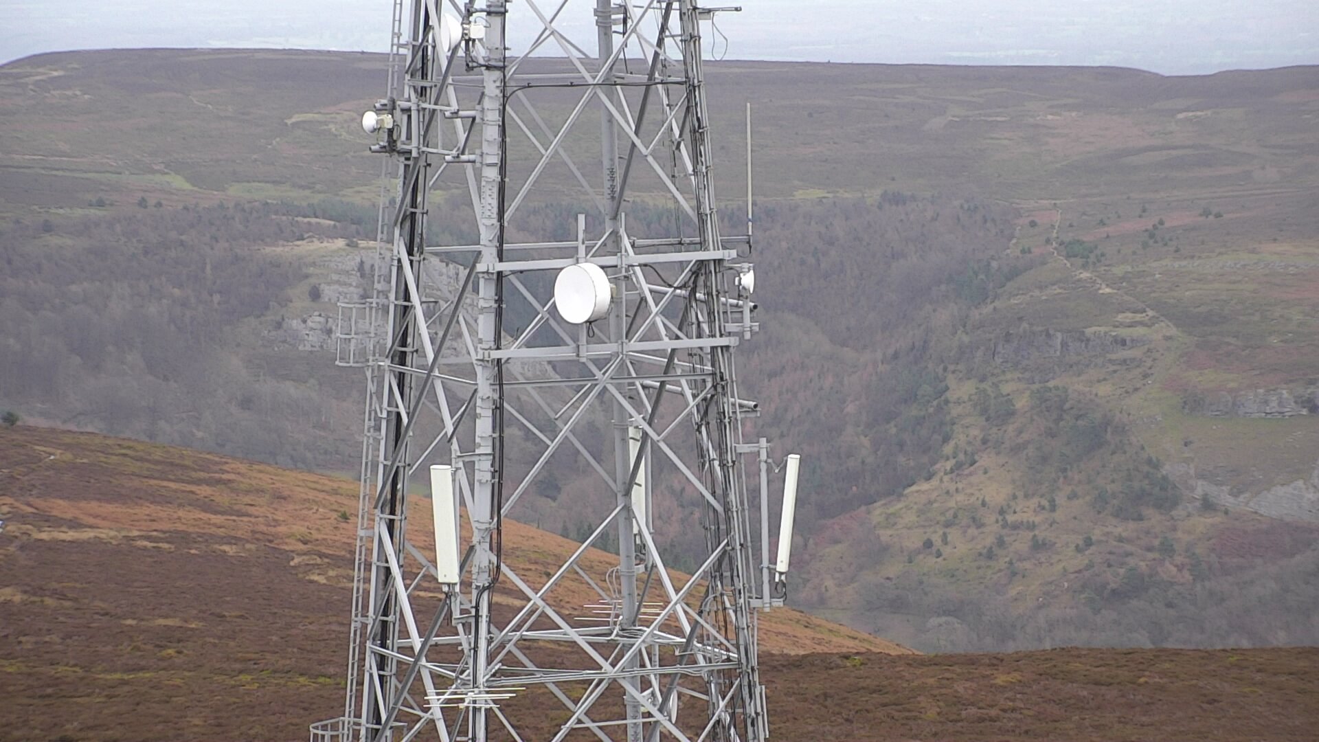
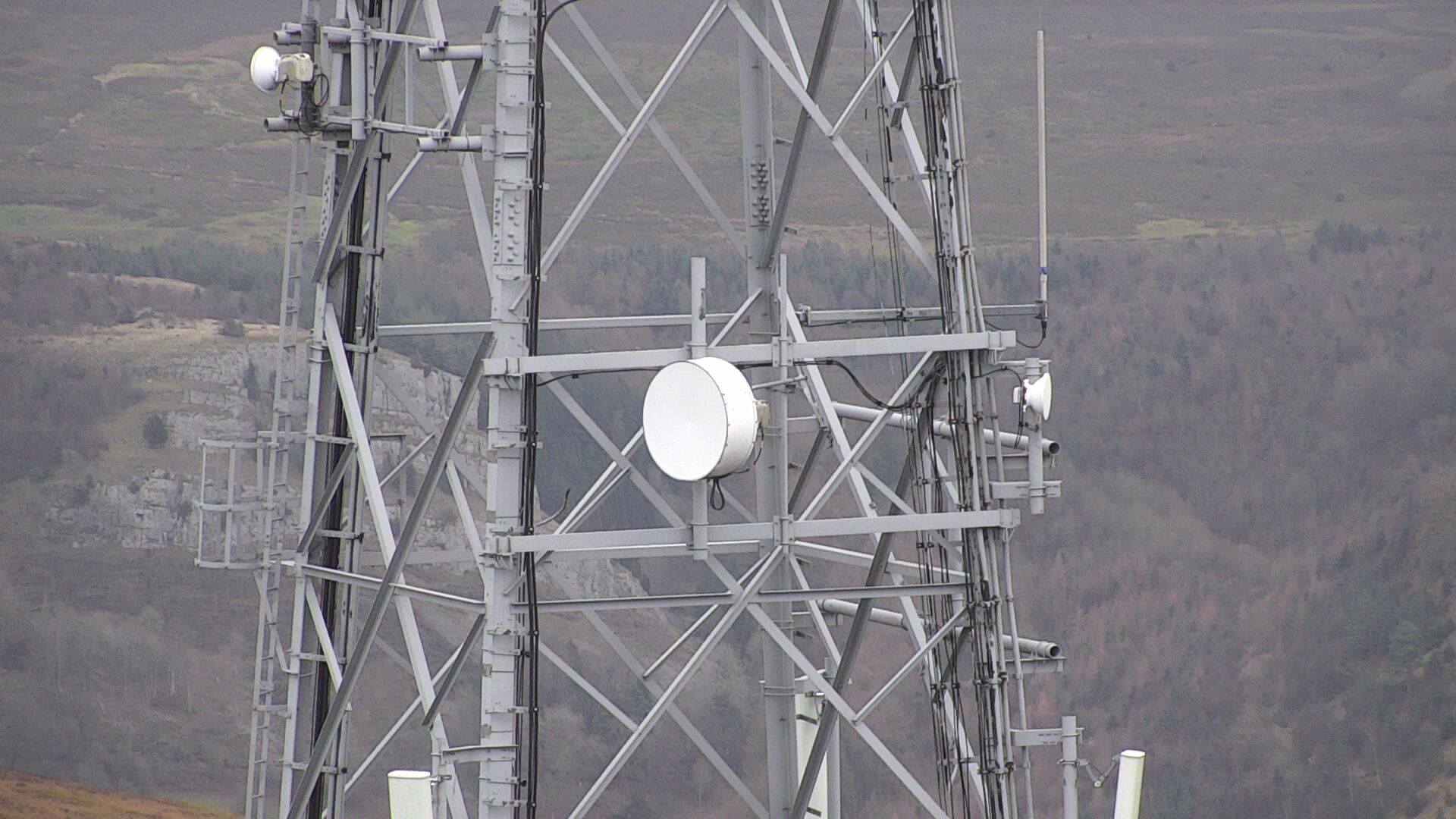
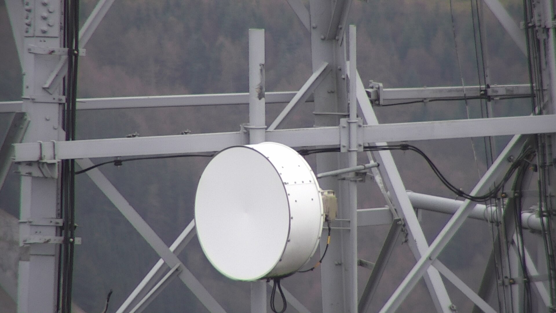
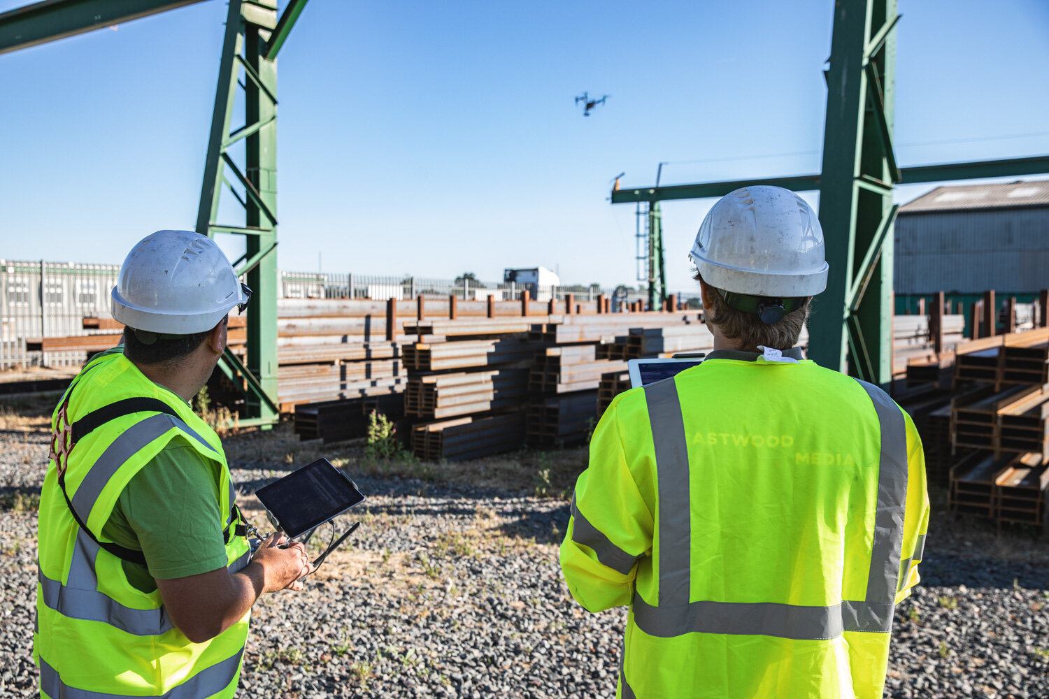
Using high resolution and zoom cameras mounted on our drones
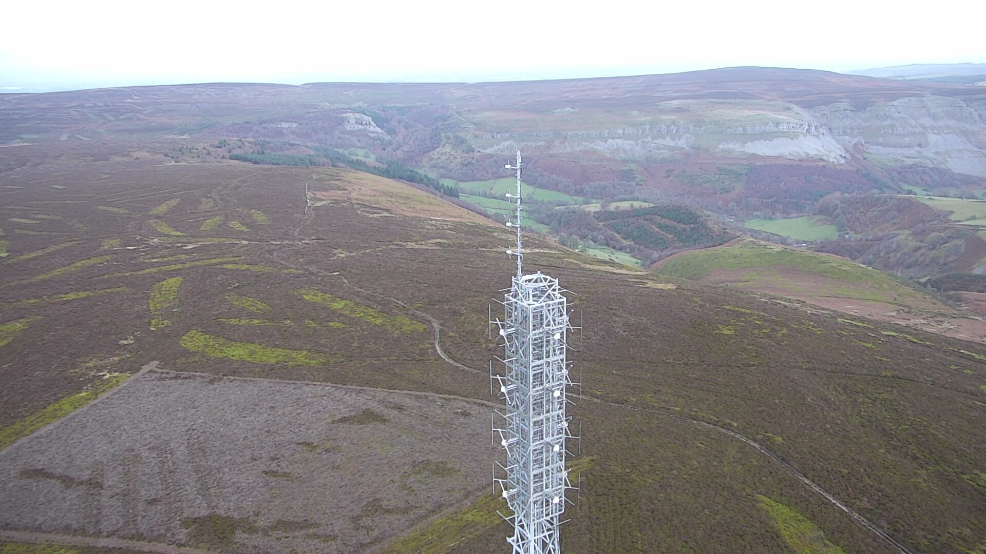
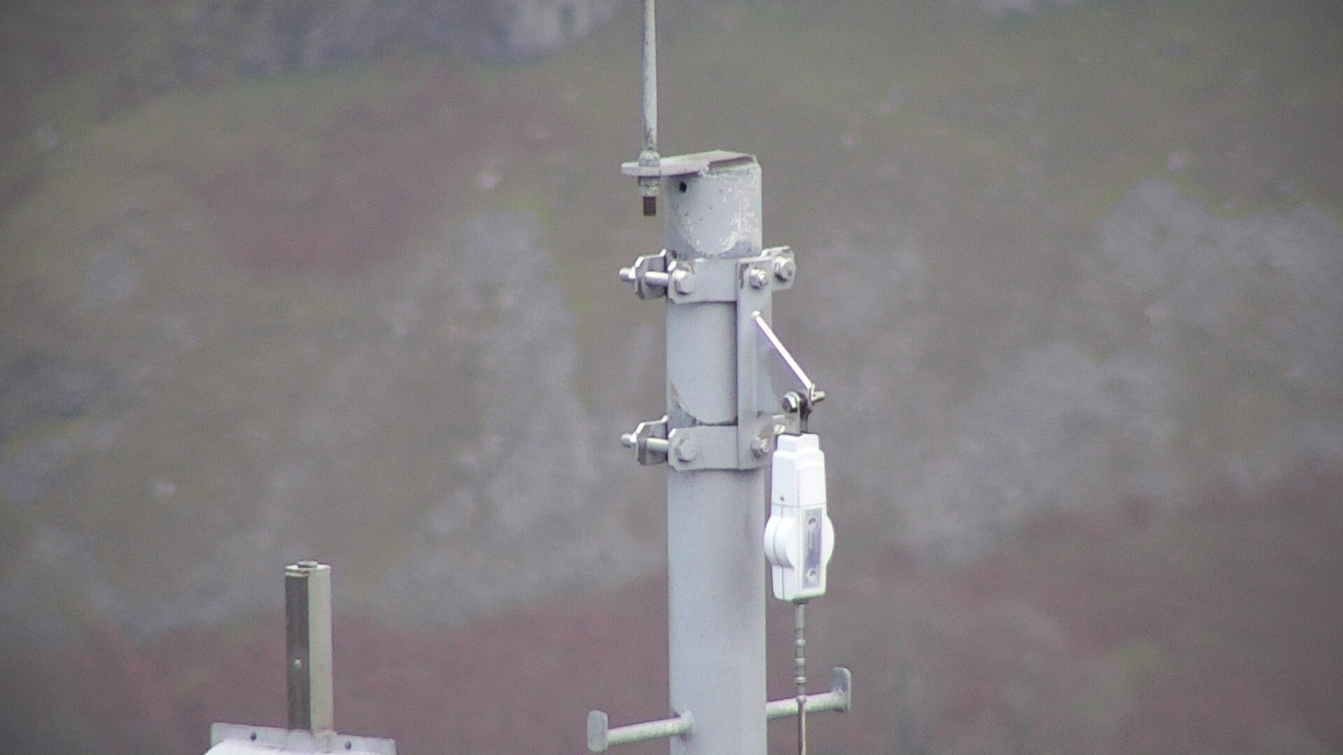
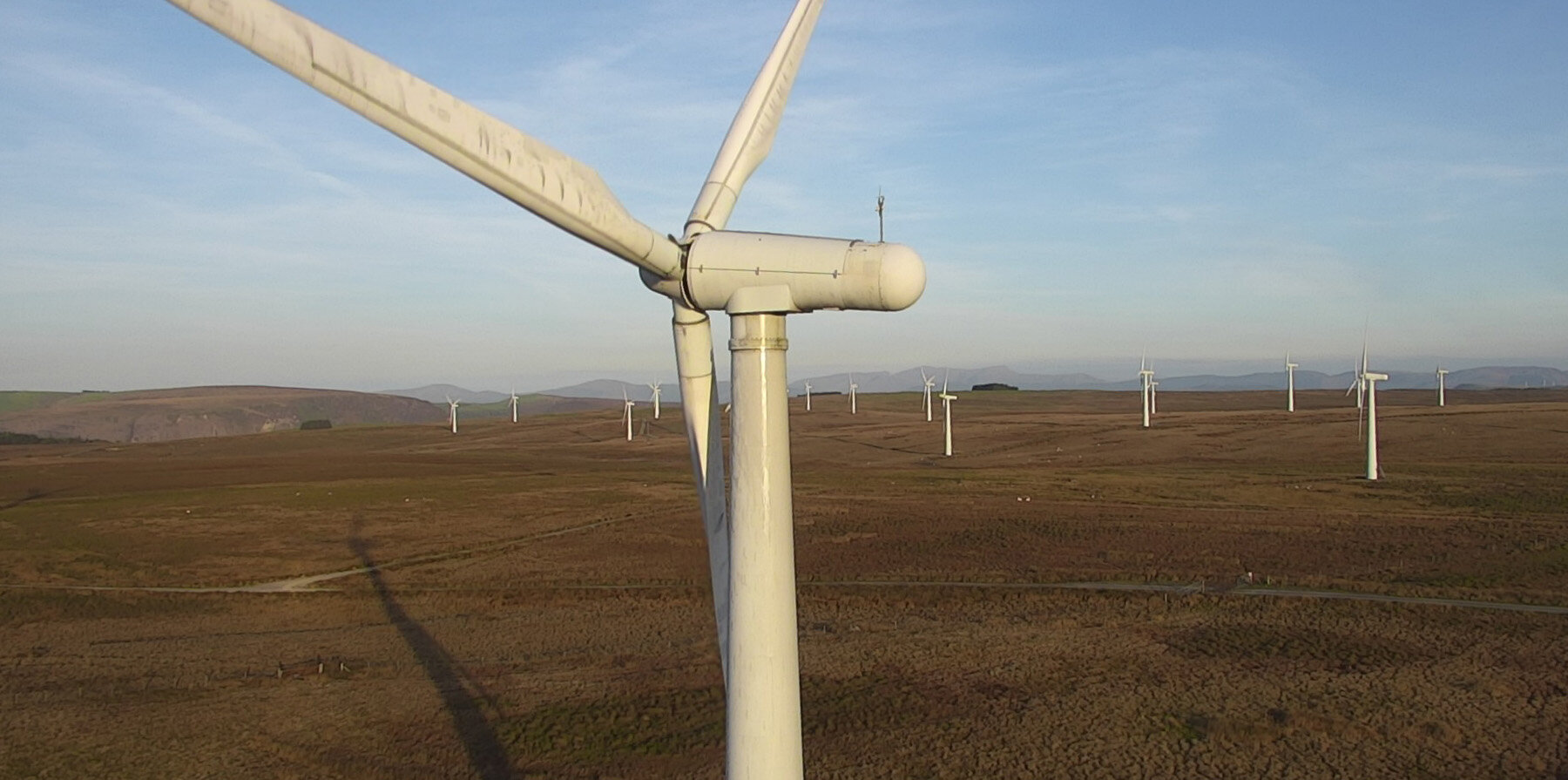
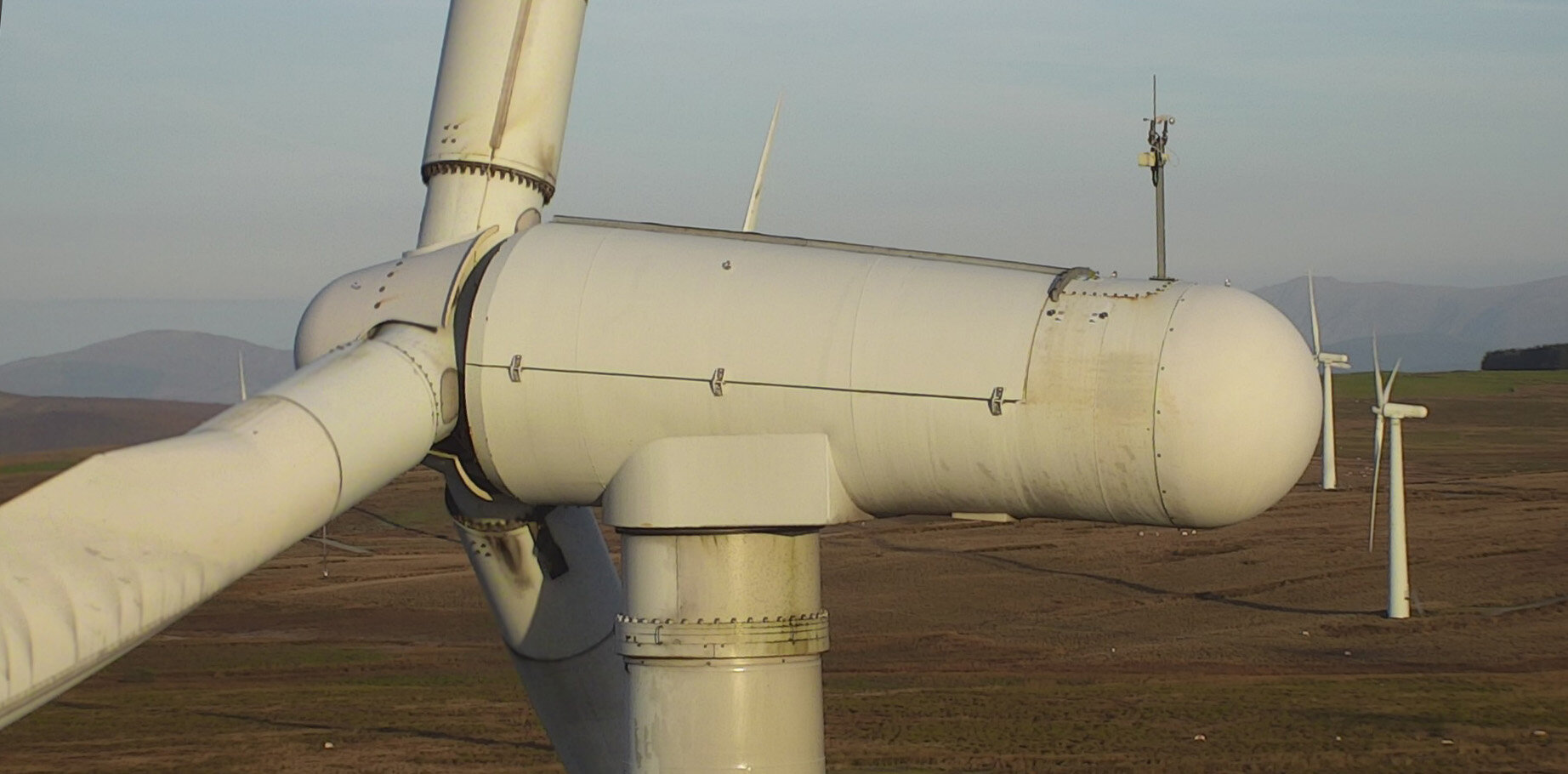
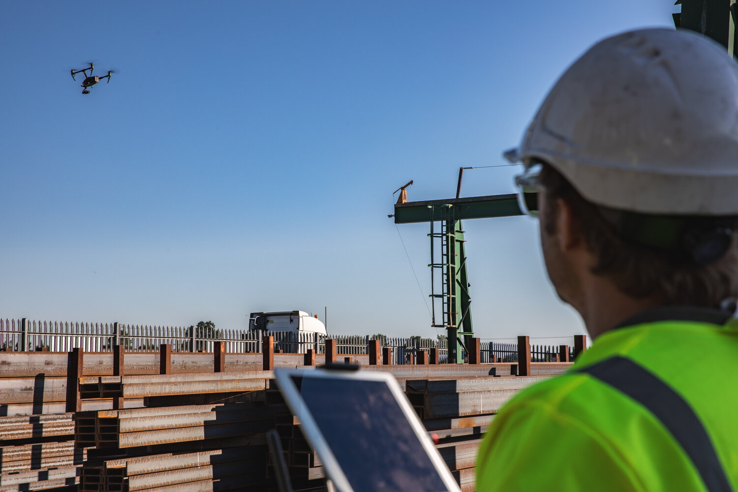
We specialise in inspections with Drones
Using high resolution cameras mounted on a DJI M200 Series drone
Drones are perfect for those hard to reach places…
Saving time and money drones also help reduce risk of injury if you need to inspect buildings and structures at height. We have a variety of payload options that suit different needs and budgets.
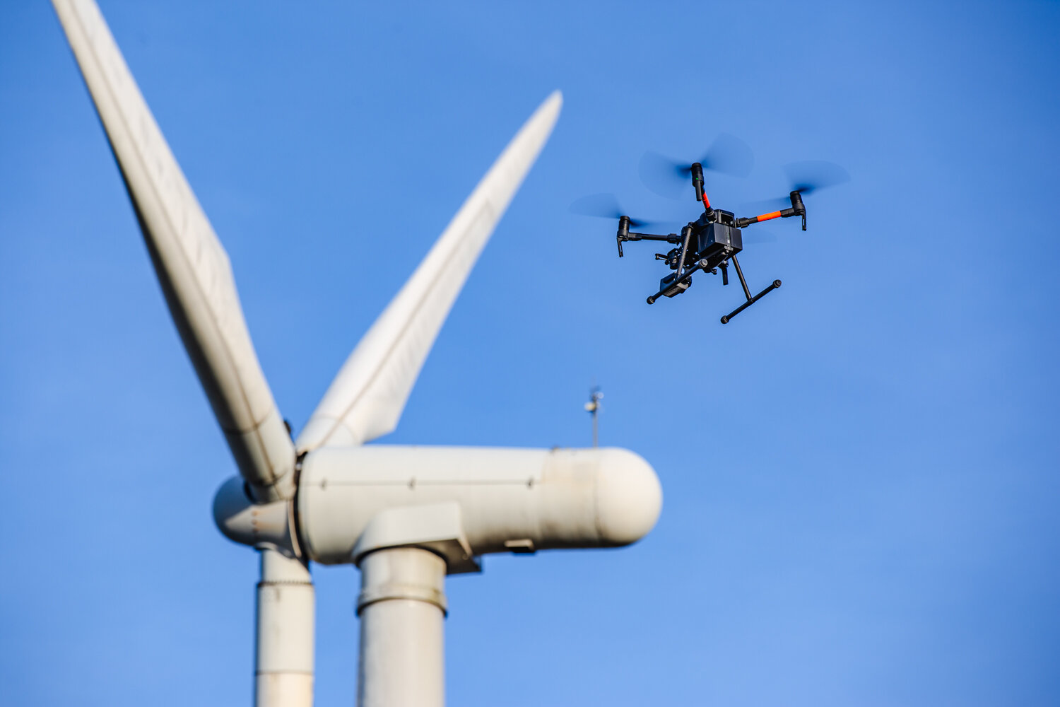
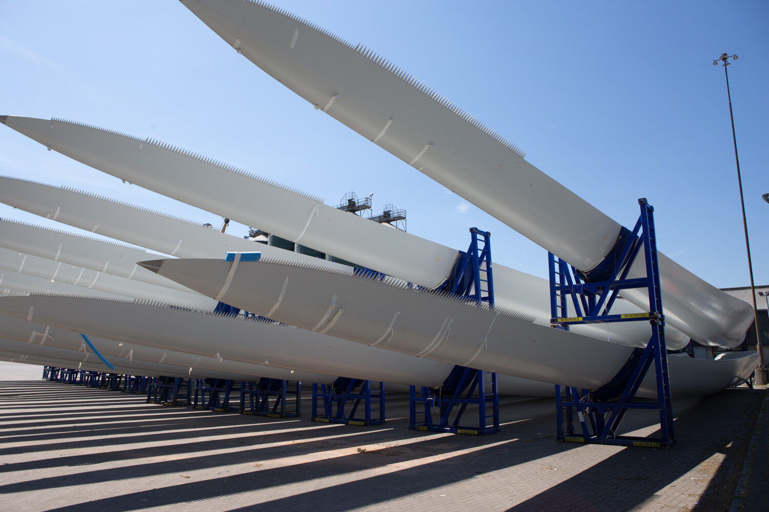
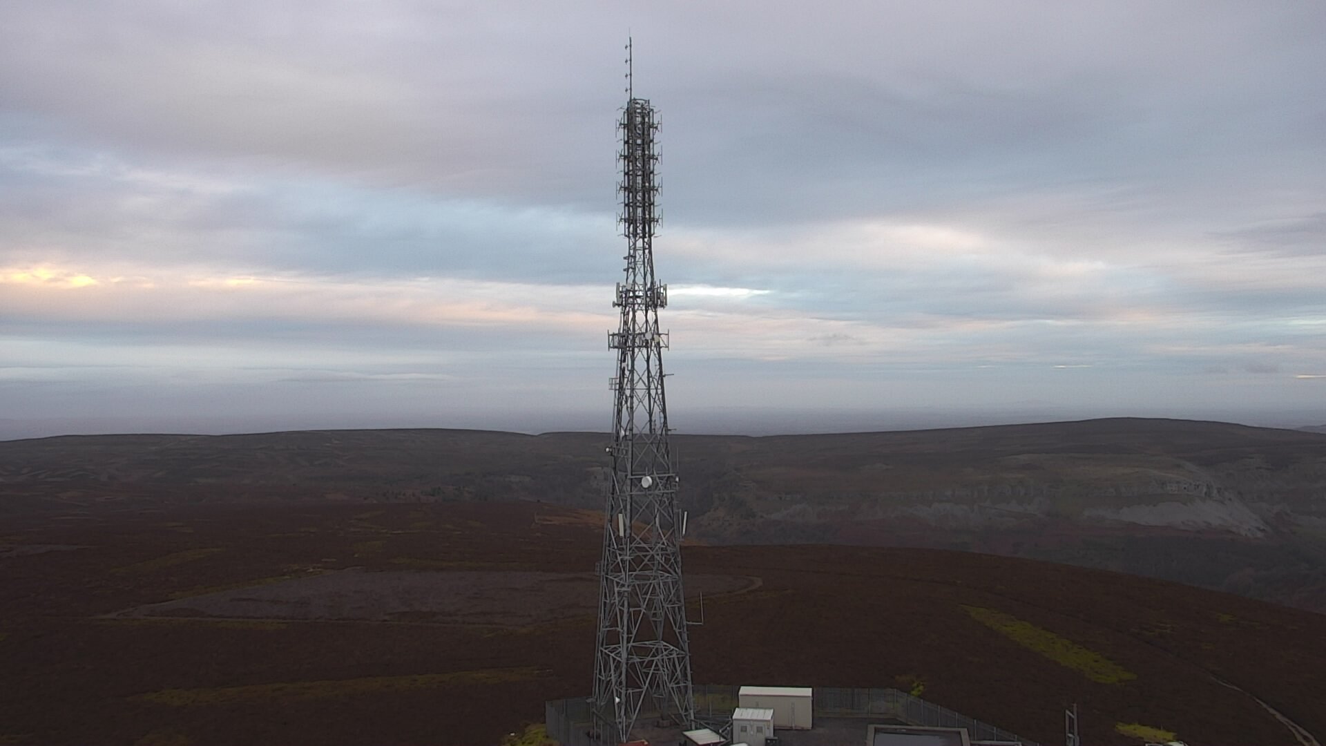
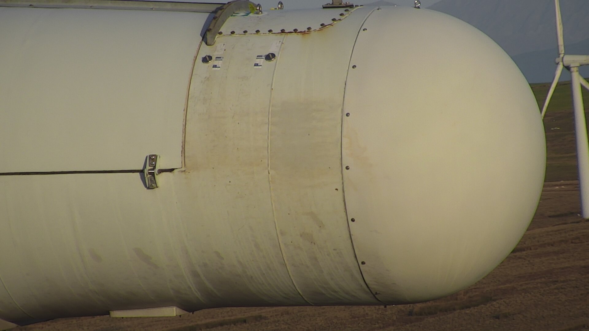
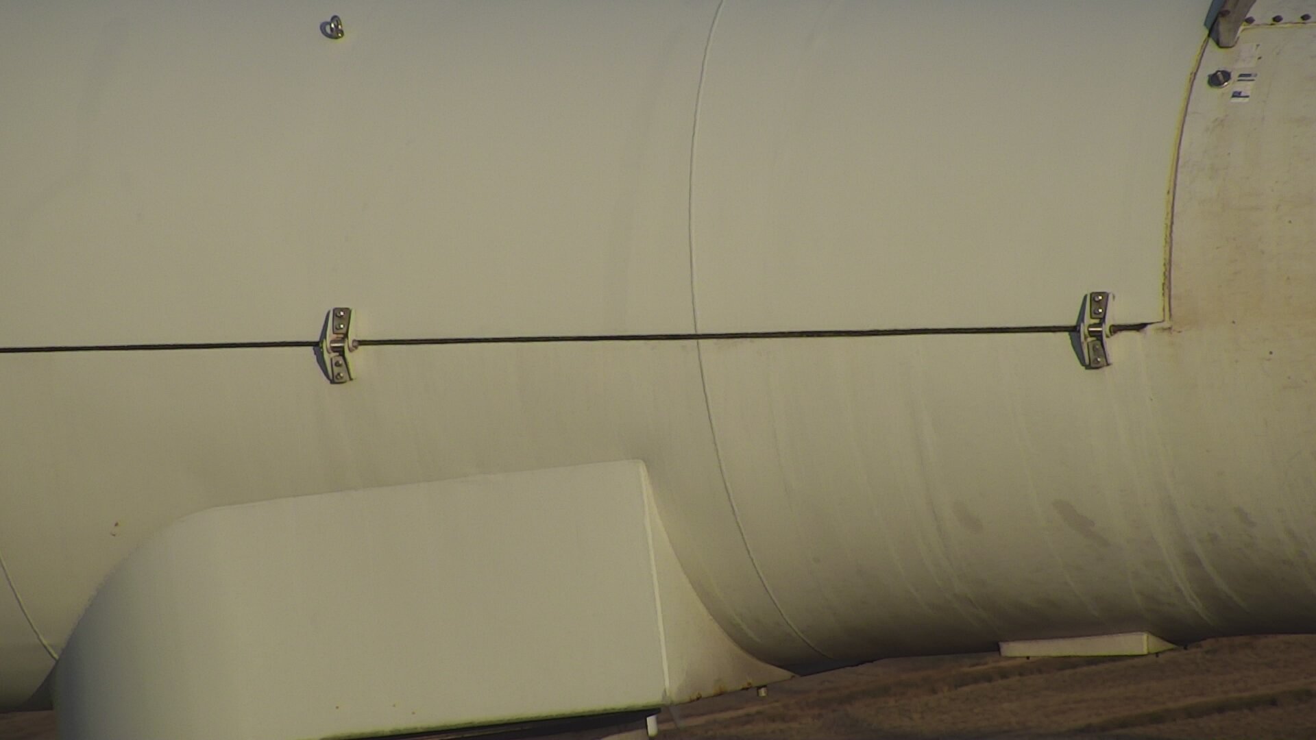
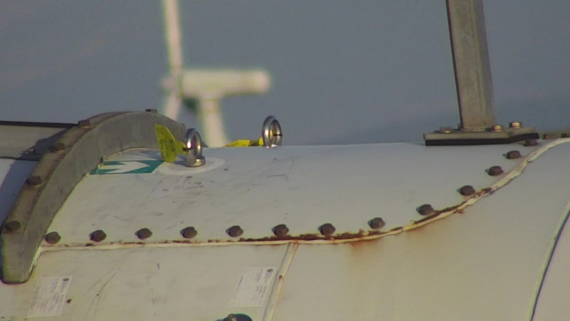
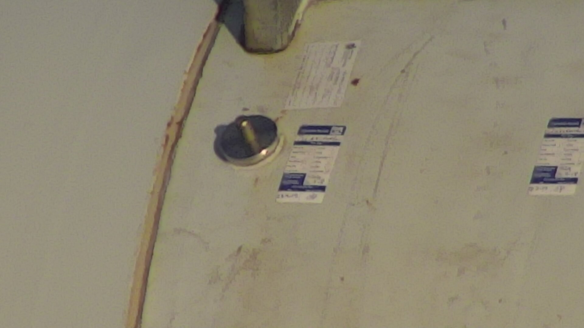
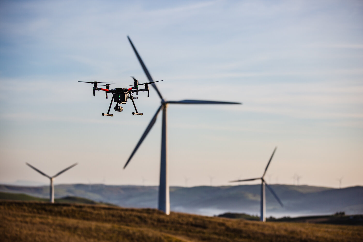
We’ve used drones to inspect mobile phone masts and wind turbines
Saving time, money and people power our drones were able to quickly get into place and show the engineers close ups critical components without the need to physically climb the structures. See below some examples of the images we were able to capture:
Mobile Phone Mast Cell Tower inpection case study